The iFlightPlanner Crew recently expanded our implementation of Velocity WEATHER by Baron to include the freely accessible aviation charts available online at iFlightPlanner.com/AviationCharts and those found as part of the iFlightPlanner Airport Weather Center and Flight Wizard for registered members.
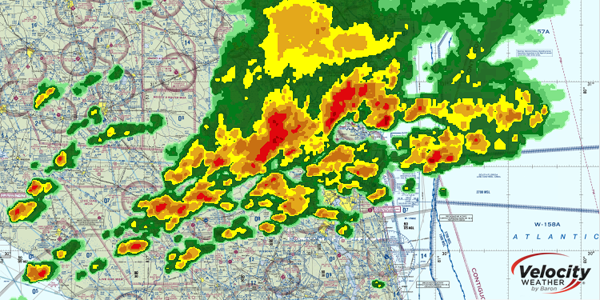
Available map layers now include hi-resolution RADAR, Infrared and Visible Satellite imagery, all of which can be synchronized for a comprehensive visual representation of current meteorological conditions and match the presentation found in iFlightPlanner for iPad. Use the Map Layers menu in the upper-left corner of the Google Maps interface to access these great new mapping features!
Should you have any questions about this, or any of the features available to you as a Free, Premium or Premium Plus member, please don't hesitate to contact us!
