In need of a great resource to get a quick look at a route and the weather and charts along the way? Check out the freely accessible Aviation Charts resource available at iFlightPlanner.com/AviationCharts! No joke. There you'll find the complete set of U.S. Sectional, TAC and IFR Low/High Enroute Charts in the familiar Google Maps interface, updated every 28-days with data direct from the FAA!
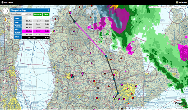
It includes the same Map Layers menu used in our Flight Planning Wizard (upper-left corner) to allow you to overlay hi-resolution RADAR and satellite imagery, as well as fuel prices, enroute conditions, graphical AIRMETs, SIGMETs, and features interactive layers for all Special Use Airspace (SUA). You can even share routes with your fellow pilots via email or your favorite social media outlet using the 'Permalink' button!
